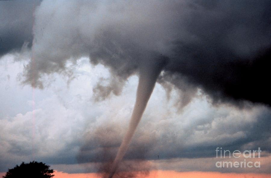
Occluded Mesocyclone Tornado Sequence 3

by Science Source
Title
Occluded Mesocyclone Tornado Sequence 3
Artist
Science Source
Medium
Photograph - Photograph
Description
A tornado is a violent, dangerous, rotating column of air that is in contact with both the surface of the earth and a cumulonimbus cloud or, in rare cases, the base of a cumulus cloud. They are often referred to as a twister or a cyclone, although the word cyclone is used in meteorology in a wider sense, to name any closed low pressure circulation. Tornadoes come in many shapes and sizes, but are typically in the form of a visible condensation funnel, whose narrow end touches the earth and is often encircled by a cloud of debris and dust. Most tornadoes have wind speeds less than 110 miles per hour (177 km/h), are approximately 250 feet (80 m) across, and travel a few miles (several kilometers) before dissipating. The most extreme tornadoes can attain wind speeds of more than 300 mph (480 km/h), stretch more than two miles (3 km) across, and stay on the ground for dozens of miles (more than 100 km). Project Vortex-99. Occluded mesocyclone tornado. Occluded means old circulation on a storm; this tornado was forming while the new circulation was beginning to form the tornadoes which preceeded the F5 Oklahoma City tornado. Photo #3 of sequence. Oklahoma 7 miles south of Anadarko May 3, 1999.
Uploaded
March 7th, 2013
Statistics
Viewed 1,809 Times - Last Visitor from Ottawa, ON - Canada on 04/23/2024 at 1:35 PM
Embed
Share
Sales Sheet
Comments
There are no comments for Occluded Mesocyclone Tornado Sequence 3. Click here to post the first comment.


