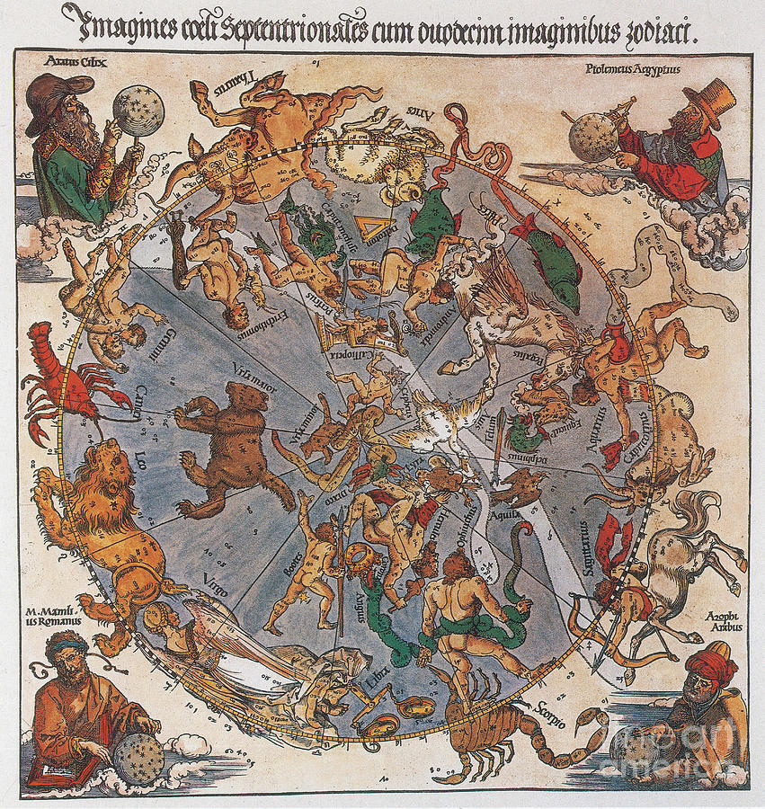
Dürer Star Map, 1515 #1

by Science Source
Title
Dürer Star Map, 1515 #1
Artist
Science Source
Medium
Photograph - Photograph
Description
Map of the Northern Sky with representations of the constellations, decorated with (clockwise) the astronomers Aratus, Claudius Ptolemy, Abd al-Rahman al-Sufi and Marcus Manilius. It is one of the oldest European printed star charts produced by Dürer in 1515. A star chart or star map is a map of the night sky. Astronomers divide these into grids to use them more easily. They are used to identify and locate astronomical objects such as stars, constellations and galaxies. Albrecht Dürer (May 21, 1471 - April 6, 1528) was a German painter, engraver, printmaker, mathematician, and theorist. His woodcuts established his reputation and influence across Europe when he was still in his twenties, and he has been conventionally regarded as the greatest artist of the Northern Renaissance ever since. He died in 1528 at the age of 56.
Uploaded
November 12th, 2014
Embed
Share
Comments
There are no comments for Dürer Star Map, 1515 #1. Click here to post the first comment.


