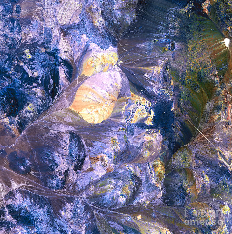
Atacama Desert, Andes

by Nasa
Title
Atacama Desert, Andes
Artist
Nasa
Medium
Photograph - Photograph
Description
Atacama Desert, satellite image. North is at top. This area of the Atacama Desert is a mountainous area where the desert merges with the foothills of the Andes. A large sandy area (yellow) is at upper left. The various colours show mineral sediments and salt deposits in this region of salt pans, canyons and mountains. This area of the Atacama Desert, the world's driest desert, is in northern Chile. The area shown in this image is around 60 kilometers wide. The image data includes infrared wavelengths, and was obtained on 28 October 2001, using the ASTER sensor on the Terra satellite.
Uploaded
March 7th, 2013
Statistics
Viewed 2,078 Times - Last Visitor from New York, NY on 04/25/2024 at 1:31 AM
Embed
Share
Sales Sheet
Comments
There are no comments for Atacama Desert, Andes. Click here to post the first comment.


