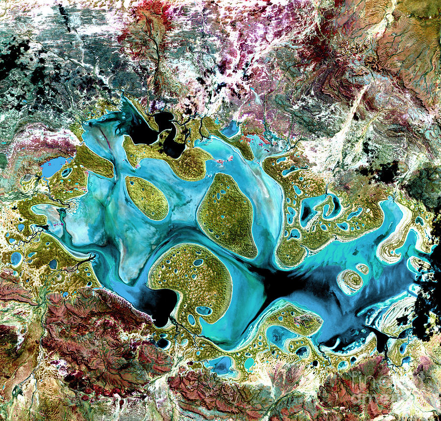
Lake Carnegie

by USGS NASA Science Source
Title
Lake Carnegie
Artist
USGS NASA Science Source
Medium
Photograph - Photograph
Description
Ephemeral Lake Carnegie, fills with water only during periods of significant rainfall. In dry years, it is reduced to a muddy marsh. This image was acquired by Landsat 7's Enhanced Thematic Mapper plus sensor on May 19, 1999. This is a false-color composite image made using shortwave infrared, infrared and red wavelengths.
Uploaded
June 1st, 2013
Embed
Share
Comments
There are no comments for Lake Carnegie. Click here to post the first comment.


