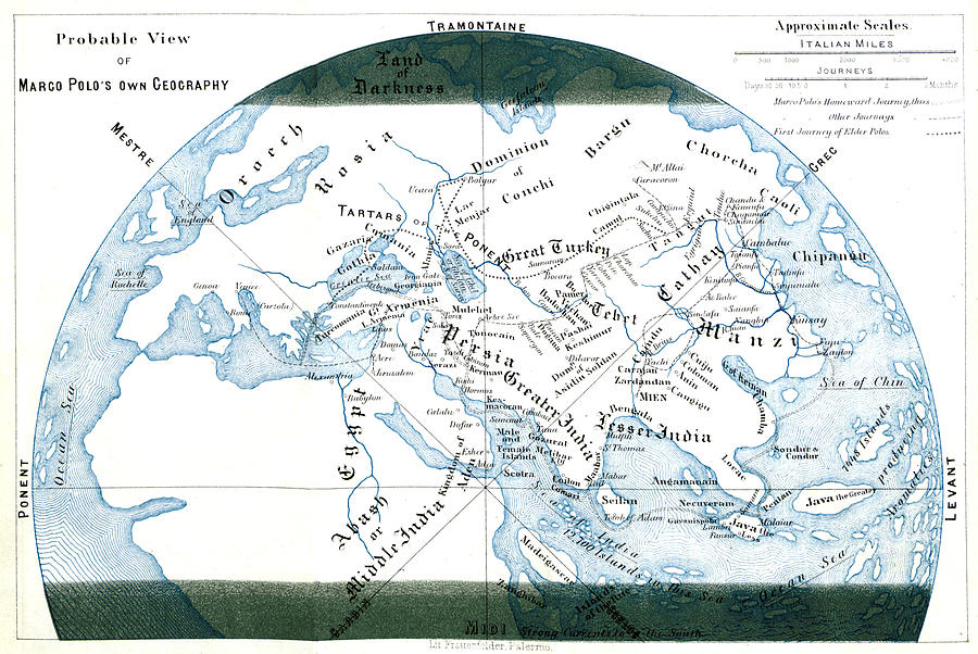
Routes Of The Polo Family, 13th Century

by British Library
Title
Routes Of The Polo Family, 13th Century
Artist
British Library
Medium
Photograph - Photograph
Description
Image taken from page 162 of "The Book of Ser Marco Polo, the Venetian, concerning the kingdoms and marvels of the East." Newly translated and edited, with notes, maps and other illustrations by H. Yule, 1875. Marco Polo (1254-1324) was a Venetian merchant traveler and the most famous Westerner to have traveled on the Silk Road. He excelled all the other travelers in his determination, his writing, and his influence. His journey through Asia lasted 24 years. He reached further than any of his predecessors, beyond Mongolia to China. He became a confidant of Kublai Khan (1214-1294). He traveled the whole of China and returned to tell the tale, which became the greatest travelogue, called The Travels of Marco Polo, that spilled over with sex, violence, suspense, exotic lands, strange people, bizarre practices, eluding marauders, surviving shipwrecks and crossing treacherous deserts. In 1323, Polo was confined to bed, due to illness. He died in January of 1324.
Uploaded
March 8th, 2017
Embed
Share
Comments
There are no comments for Routes Of The Polo Family, 13th Century. Click here to post the first comment.


