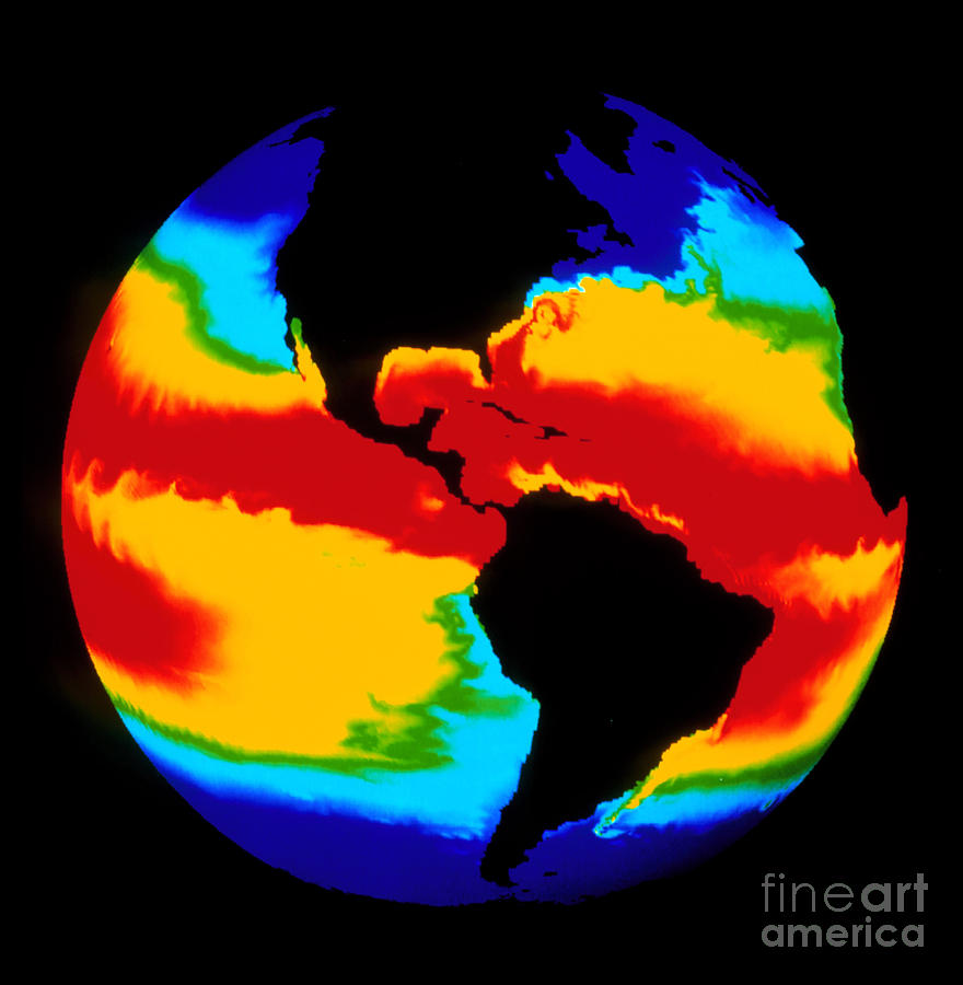
Computer Simulation Of Global Sea

by Los Alamos National Laboratory
Title
Computer Simulation Of Global Sea
Artist
Los Alamos National Laboratory
Medium
Photograph
Description
Computer model of global sea surface temperature. Computed sea surface temperatures mapped onto a sphere. The temperatures are color coded from red (warmest) through green and yellow to blue (coolest). The model has predicted several real-world phenomena, such as the Gulf Stream (upper right) and the Falkland current off South America (lower right). Large eddy streets are seen in equatorial latitudes, and large-scale waves are seen in the tropical Pacific. The model used a spatial resolution of 0.5 degrees of latitude and longitude and 20 vertical depth levels, combined with realistic ocean floor topography.
Uploaded
June 2nd, 2013
Embed
Share
Comments
There are no comments for Computer Simulation Of Global Sea. Click here to post the first comment.


